Goillet Dam
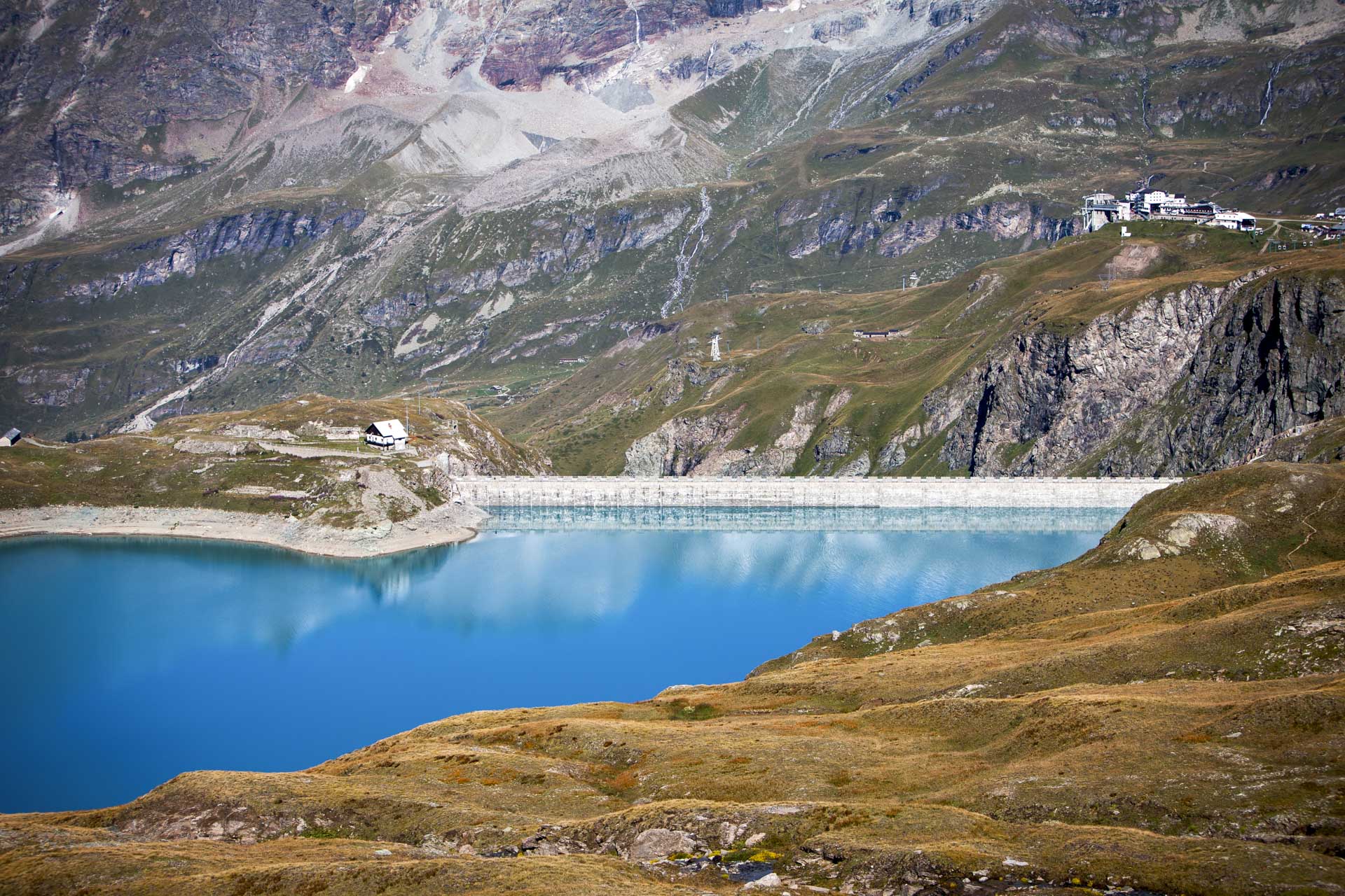
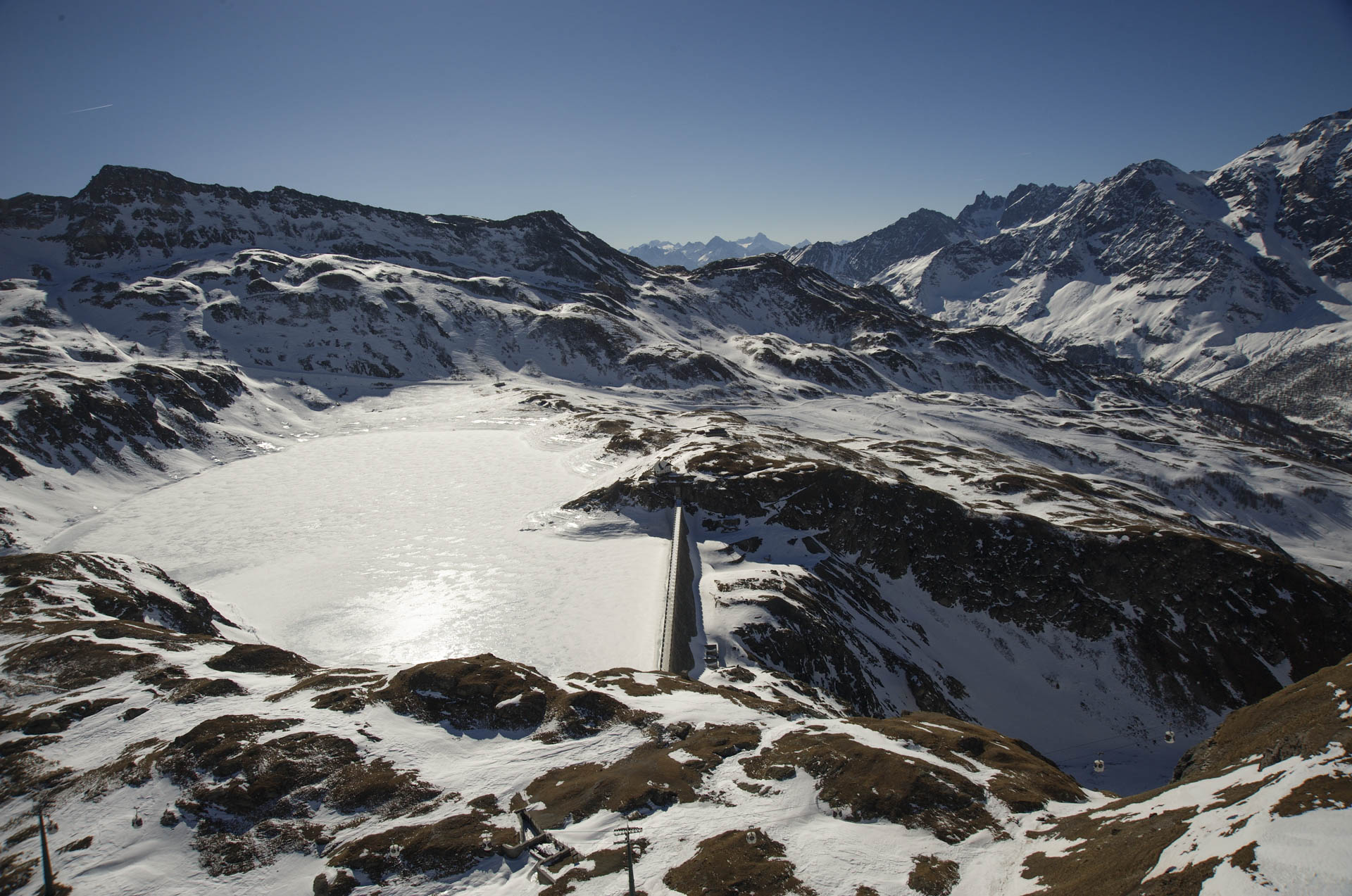
The Goillet Dam is located in the municipality of Valtournenche, at the foot of the Matterhorn pyramid and within the Cervinia ski area, surrounded by cable cars, ski lifts, and ski slopes. These include the famous Ventina slope that connects Plateau Rosa (3,500 m asl) to Cervinia (2,000 m asl) passing alongside the lake.
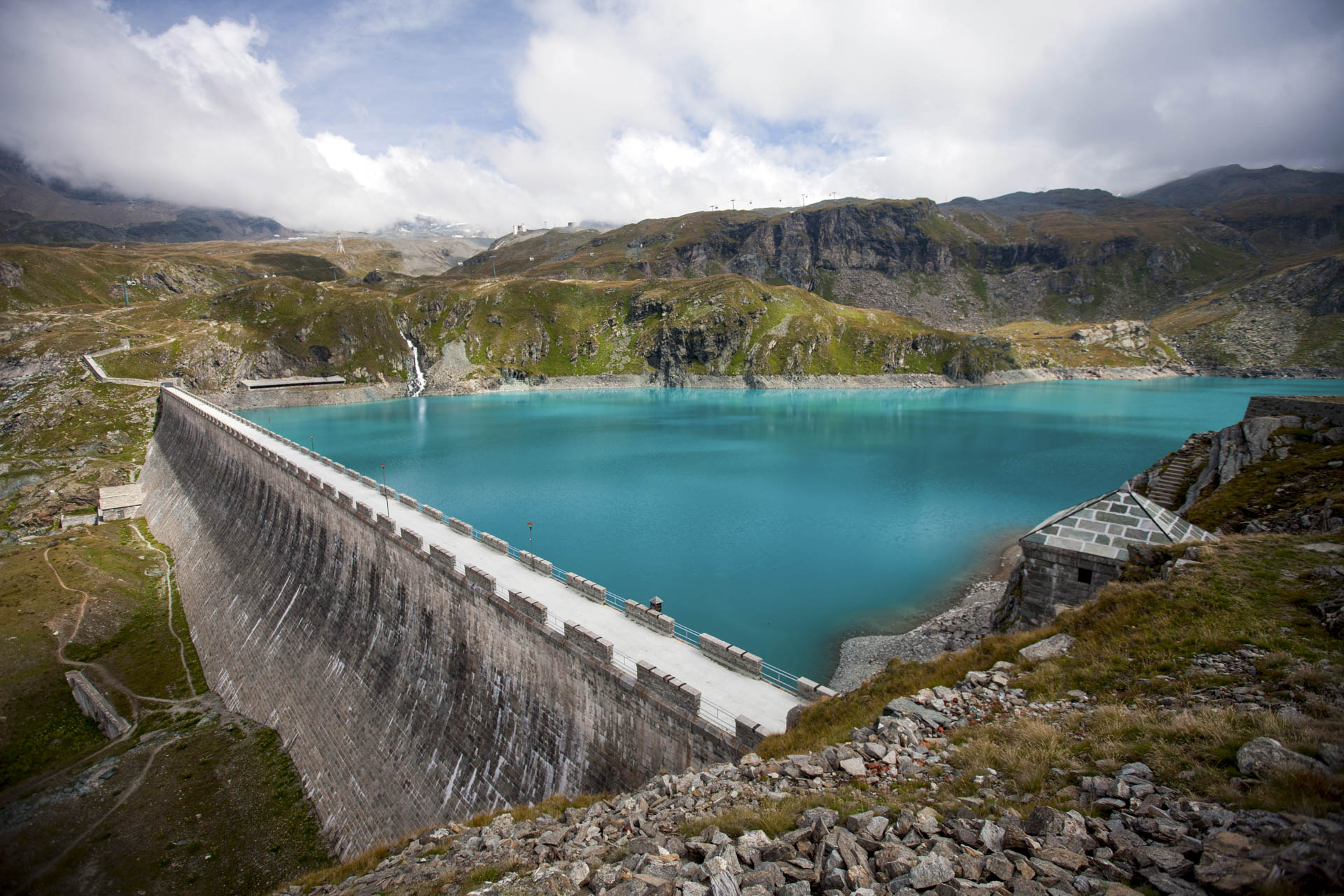
The structure enhances an evocative scenario of rare beauty and majesty and is therefore unique in the context of CVA hydroelectric plants distributed throughout the Aosta Valley.
The reservoir created by the weir is in fact contained in one of the glacial lake basins carved into the rocks in the area. The structure of the Goillet Dam is set between the steep walls, carved into the rock, by the erosion of the outflow of the natural lake bearing the same name.
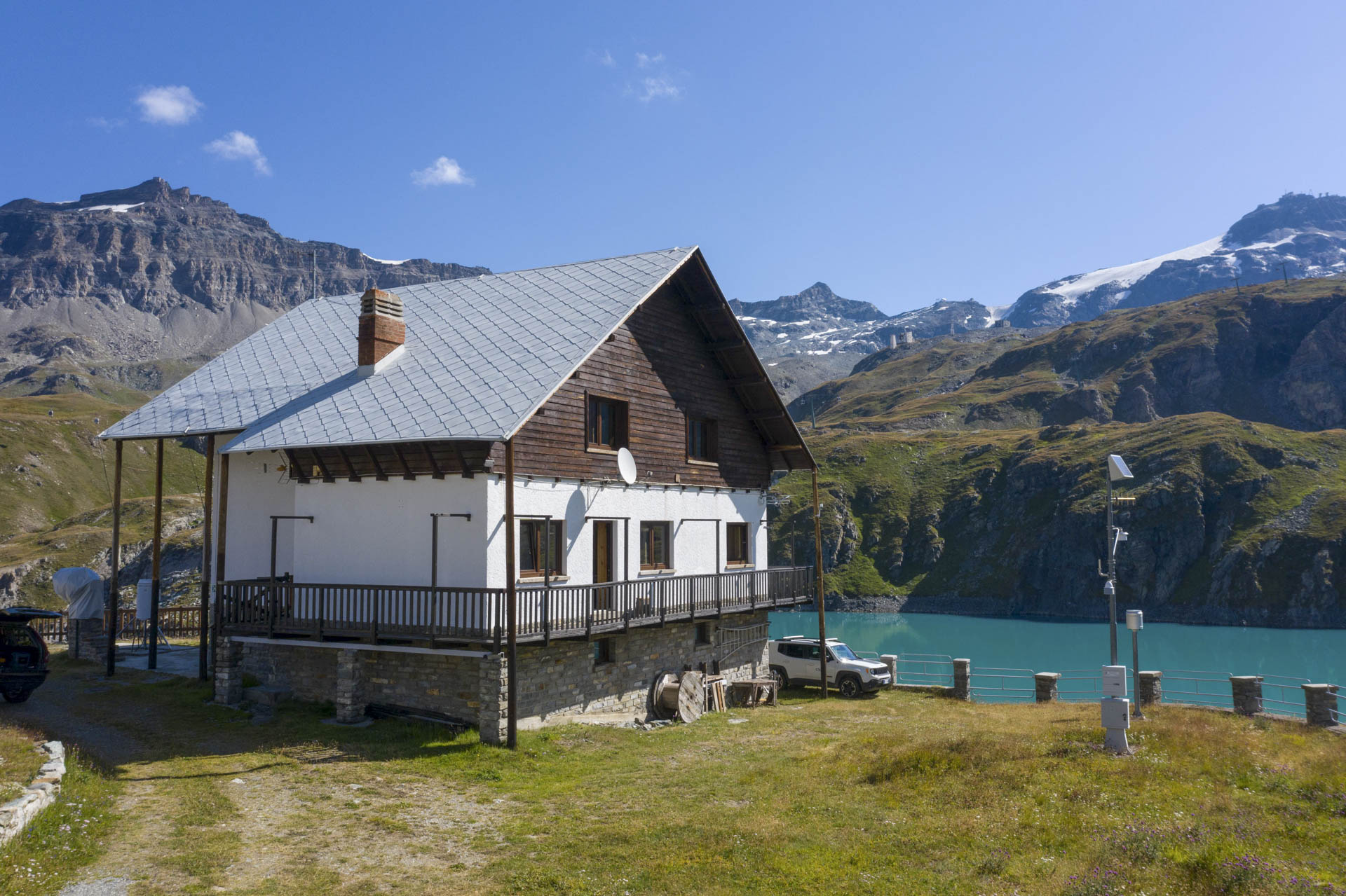
Inside the dam, a network of tunnels accessible only to CVA employees allows daily monitoring of the proper operation of the hydroelectric power plant.
This plant is part of one of the Energy Tours routes.
Characteristics of the plant
Key information
Municipality: Valtournenche (AO)
Plant it belongs to: Perrères
Period of construction: year 1939-1947
Testing: year 1952
Other information
Directly subtended catchment basin: 6.3 km2
Useful reservoir storage capacity: 11,159,000 m3
Maximum reservoir height: 2,527 m asl
Type of structure: massive gravity
Other information
Height of the weir: 48.60 m
Crest length: 368 m
Thickness at base: 32 m
Thickness at crest: 5 m


